Divided city – Tasman Bridge disaster

Bruce Kay
Wednesday, 1 January 2025

An air of unreality

Sunday 5th January, 1975 9:27 pm 

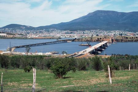
Sunday the 5th of January 2025 marks 50 years since the tragic event that took the lives of 12 people and severed the connection between Hobart and its eastern shore suburbs.

A description of the incident quoted from a report in the Hobart Mercury the following morning read:

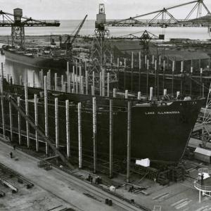
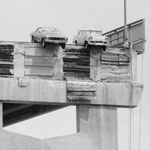
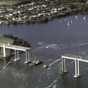
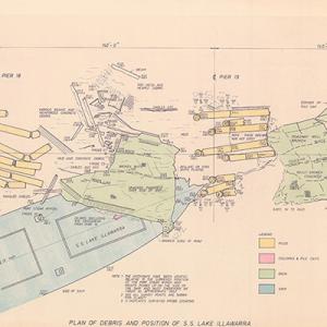
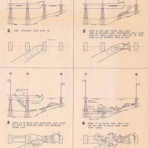
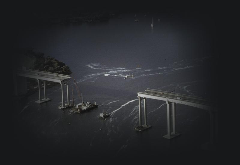
More than 10 people died last night when a 10,000-ton ship, the Lake Illawarra, knocked a section out of the Tasman Bridge and sank in more than 80 feet of water in about 10 minutes.

With the bow already submerged under the weight of the collapsed bridge span the Lake Illawarra’s stern pointed skyward, seconds later it had sunk in a cloud of spray.

Few could fully comprehend the meaning of the disaster, the lives lost, the destruction of both the Lake Illawarra and the Bridge itself and the huge traffic problems which will face Hobart residents for months, perhaps years to come.

There was an air of unreality about the disaster.

At the time this was a unique event – never had a city been suddenly separated in 2 halves. Authorities had dealt with natural calamities and disasters in the past, but this short sharp impact had different repercussions.

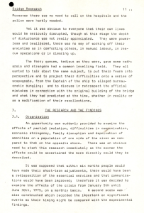
For the community it was obvious that their lives would be seriously disrupted. The depth of this disturbance though extended beyond the cost of repairing a broken bridge and a sunken ship.

Isolation with crime on the rise

Hobart's eastern shore municipality of Clarence had a population of 40,000 and Hobart had 53,000 at the time of the collapse, with most residents travelling daily from east to west.

The eastern shore had little in the way of developed industry, health and emergency services or entertainment – these were mostly provided by Hobart. Clarence was essentially a dormitory suburb for western shore workers

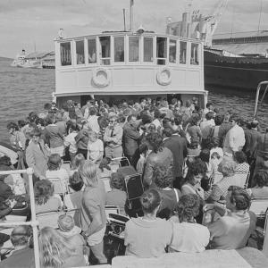
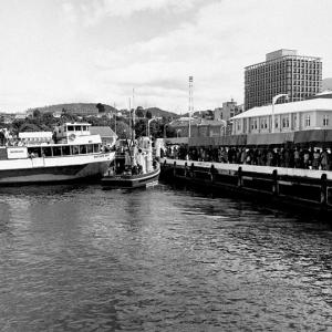
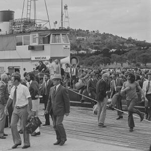
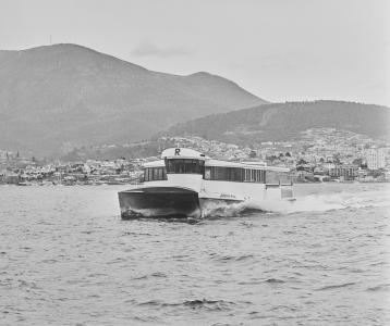
The loss of the bridge changed a 3-minute trip into a 1.5-hour drive by dirt road, or a wait in long queues for the very limited ferry service. This resulted in isolation for the socialites and more time away from families for workers. Alcohol consumption increased and the ferry service was described as Hobart's largest publican for that period. This had a flow on effect for crime with violence statistics on the rise.

Unemployment figures also increased, with reported lethargy in job seekers who were reluctant to undertake the travel required for interviews and any subsequent employment. This also contributed to an increase in crime.

Army, Navy and the Prime Minister

Initially nearby residents manned boats and rescued survivors with the police launch arriving thereafter.

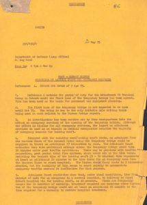
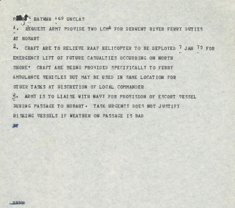
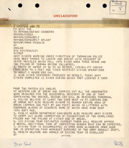
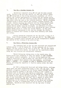
The Australian Army provided landing craft for emergency travel across the river, which sailed almost immediately from Sydney, escorted by a Royal Australian Navy Patrol Boat. The Navy also quickly provided clearance divers to survey the underwater wreckage. It was reported that the divers found out ‘the hard way’ that some of the electrical cables were still charged with electricity whilst undertaking the task.

Later the Army provided, on loan, a temporary one lane Bailey Bridge that crossed the river north of the Tasman at Dowsing Point.

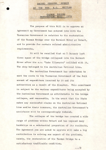
Prime Minister, Gough Whitlam, tabled the Joint Tasman Bridge Restoration Bill in April 1975 undertaking to meet the costs of the repairs and restoration.

Development and prosperity

The bridge was fully restored and reopened in October 1977. The alternative road was also significantly upgraded. In 1984 a new Derwent River bridge (the Bowen Bridge), as recommended by the restoration committee, was opened by Prime Minister Bob Hawke.

The Clarence municipality underwent a marked period of development with improved services, industry, and infrastructure. Other suburbs such as Kingston also accelerated their growth as an alternative suburb within an easy commute of Hobart.

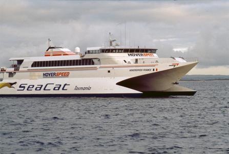
The ferry service that flourished during the restoration, operated by local boat builder, Bob Clifford, developed catamaran designs which led to the extraordinarily successful world-renowned wave piercing ferries that they continue to manufacture in Hobart today.

The CSIRO recently mapped the seabed below the point of collision. New technology lights up the location of SS Lake Illawarra where the SS Illawarra remains.

As a safety measure traffic continues to be halted whilst ships pass under the bridge and navigation safety measures were put in place to prevent a similar event.

Discover more about the incident in our recently digitised records from NAA series P1516 and P769 regarding the Court of Marine Inquiry hearings and findings.