
Aboriginal and Torres Strait Islander people should be aware that the National Archives' website and collection contain the names, images and voices of people who have died.
Some records include terms and views that are not appropriate today. They reflect the period in which they were created and are not the views of the National Archives.


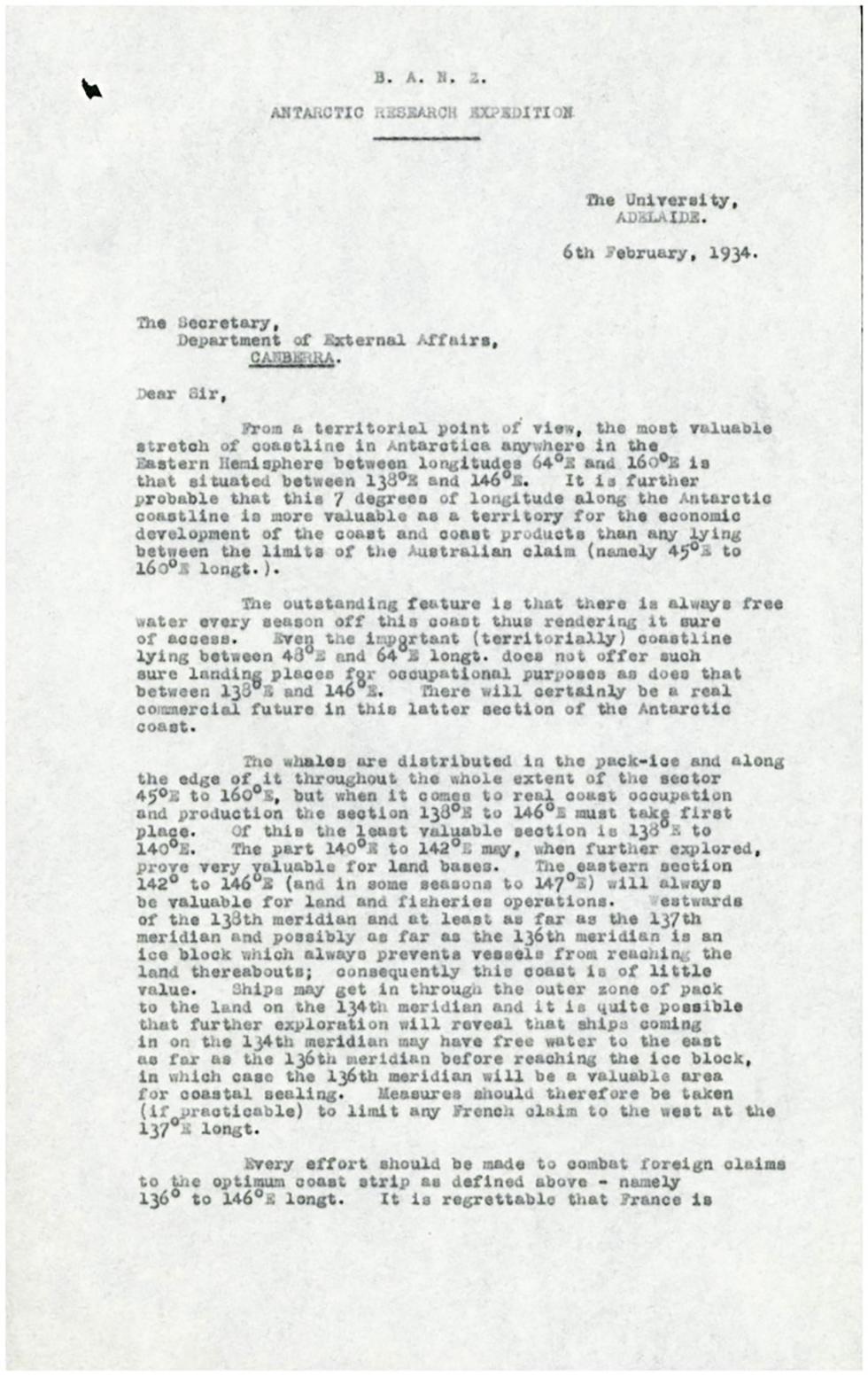
[Page 1]
B.A.N.Z. [British, Australian, and New Zealand]
ANTARCTIC RESEARCH EXPEDITION
[dividing line]
The University,
ADELAIDE.
6th February, 1934
[Addressed to:] The Secretary,
Department of External Affairs,
CANBERRA. [underlined]
Dear Sir,
From a territorial point of view, the most valuable stretch of coastline in Antarctica anywhere in the Eastern Hemisphere between longitudes 64° E [degrees east] and 160° E is that situated between 138° E and 146° E. It is further probable that this 7 degrees of longitude along the Antarctic coastline is more valuable as a territory for the economic development of the coast and coast products than any lying between the limits of the Australian claim (namely 45° E to 160° E longt. [longitude]).
The outstanding feature is that there is always free water every season off this coast thus rendering it sure of access. Even the important (territorially) coastline lying between 48° E and 64° E longt. does not offer such sure landing places for occupational purposes as does that between 138° E and 146° E. There will certainly be a real commercial future in this latter section of the Antarctic coast.
The whales are distributed in the pack-ice and along the edge of it throughout the whole extent of the sector 45° E to 160° E, but when it comes to real coast occupation and production the section 138° E to 146° E must take first place. Of this the least valuable section is 138° E to 140° E. The part 140° E to 142° E may, when further explored, prove very valuable for land bases. The eastern section 142° E to 146° E (and in some seasons to 147° E) will always be valuable for land and fisheries operations. Westwards of the 138th meridian and at least as far as the 137th meridian and possibly as far as the 136th meridian is an ice block which always prevents vessels from reaching the land thereabouts; consequently this coast is of little value. Ships may get in through the outer zone of pack to the land on the 134th meridian and it is quite possible that further exploration will reveal that ships coming in on the 134th meridian may have free water to the east as far as the 136th meridian before reaching the ice block, in which case the 136th meridian will be a valuable area for coastal sealing. Measures should therefore be taken (if practicable) to limit any French claim to the west at the 137° E longt.
Every effort should be made to combat foreign claims to the optimum coast strip as defined above – namely 136° to 146° E longt. It is regrettable that France is
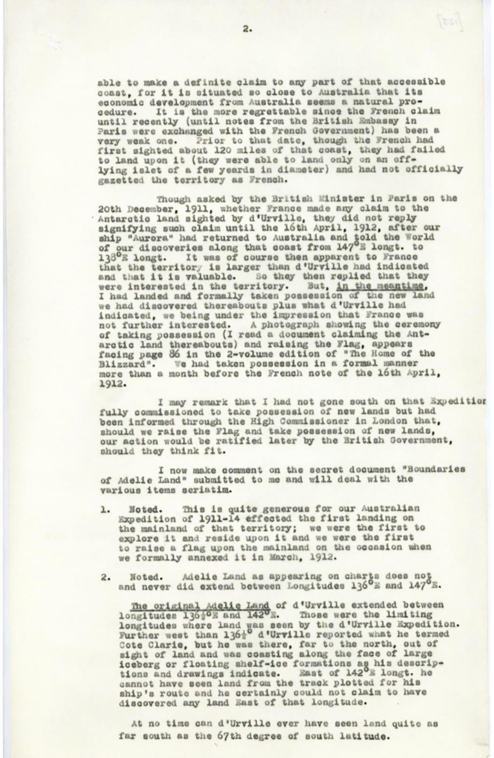
[Page] 2.
able to make a definite claim to any part of that accessible coast, for it is situated so close to Australia that its economic development from Australia seems a natural procedure. It is the more regrettable since the French claim until recently (until notes from the British Embassy in Paris were exchanged with the French government) has been a very weak one. Prior to that date, though the French had first sighted about 120 miles of that coast, they had failed to land upon it (they were able to land only on an off-lying islet of a few yeards [sic] in diameter) and had not officially gazetted the territory as French.
Though asked by the British Minister in Paris on the 20th December, 1911, whether France made any claim to the Antarctic land sighted by d'Urville, they did not reply signifying such claim until the 16th April, 1912, after our ship "Aurora" had returned to Australia and told the World of our discoveries along that coast from 147° E longt. to 138° E longt. It was of course then apparent to France that the territory is larger than d'Urville had indicated and this it is valuable. So they then replied that they were interested in the territory. But, [underlined] in the meantime [end underline], I had landed and formally taken possession of the new land we had discovered thereabouts plus what d'Urville had indicated, we being under the impression that France was not further interested. A photograph showing the ceremony of taking possession (I read a document claiming the Antarctic land thereabouts) and raising the Flag, appears facing page 86 in the 2-volume edition of the "The Home of the Blizzard". We had taken possession in a formal manner more than a month before the French note of the 16th April, 1912.
I may remark that I had not gone south on the Expedition fully commissioned to take possession of new lands but had been informed through the High Commissioner in London that, should we raise the Flag and take possession of new lands, our action would be ratified later by the British Government should they think fit.
I now make comment on the secret document "Boundaries of Adelie Land" submitted to me and will deal with the various items seriatim.
1. Noted. This is quite generous for our Australian Expedition of 1911-14 effected the first landing on the mainland of that territory; we were the first to explore it and reside upon it and we were the first to raise a flag upon the mainland on the occasion when we formally annexed it in March, 1912.
2. Noted. Adelie Land as appearing on charts does not and never did extend between Longitudes 136° E and 147° E.
[Underlined] The original Adelie Land [end underline] of d'Urville extended between longitudes 136 ½° E and 142° E. Those were the limiting longitudes where land was seen by the d'Urville Expedition. Further west than 136 ½° d'Urville reported what he termed Cote Clarie, but he was there, far to the north, out of sight of land and was coasting along the face of large iceberg or floating shelf-ice formations as his descriptions and drawings indicate. East of 142° E longt. he cannot have seen land from the track plotted for his ship’s route and he certainly could not claim to have discovered any land East of that longitude.
At no time can d'Urville ever have seen land quite as far south as the 67th degree of south latitude.
This letter highlights the territorial value of certain areas of Antarctica, including for economic development (first two pages of seven).
Learn how to interpret primary sources, use our collection and more.
